Jump to content

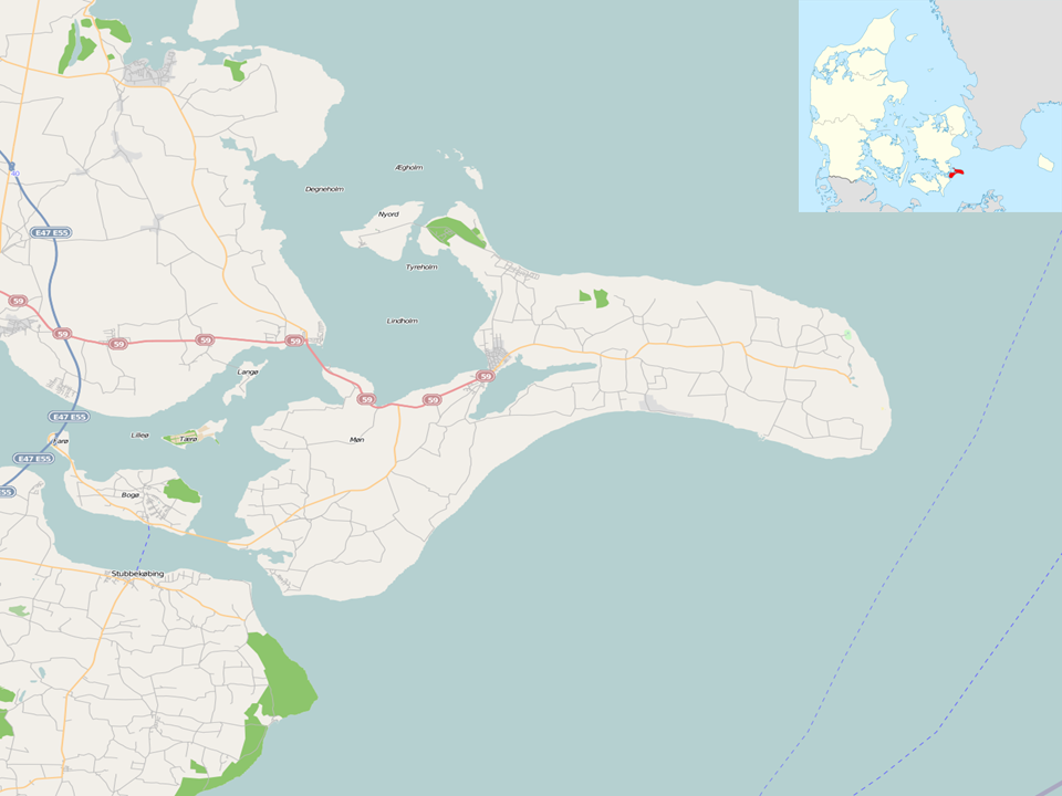
Fayl:Location map Denmark Møn.PNG

From Ziyosfera
Original file (960 × 720 pixels, file size: 239 KB, MIME type: image/png)

This file is from Wikimedia Commons and may be used by other projects. The description on its file description page there is shown below.

Description
English: Map of Møn, Denmark

Geographic limits of the map:

  • N: 55.152°
  • S: 54.789°
  • W: 11.951°
  • E: 12.668°
w:en:Creative Commons
attribution share alike
This file is licensed under the Creative Commons Attribution-Share Alike 2.0 Generic license.
You are free:
  • to share – to copy, distribute and transmit the work
  • to remix – to adapt the work
Under the following conditions:
  • attribution – You must give appropriate credit, provide a link to the license, and indicate if changes were made. You may do so in any reasonable manner, but not in any way that suggests the licensor endorses you or your use.
  • share alike – If you remix, transform, or build upon the material, you must distribute your contributions under the same or compatible license as the original.
Source OpenStreetMap
Author Dr. Blofeld

Captions

Add a one-line explanation of what this file represents

Items portrayed in this file

тасвирланган обект ўзбекча (transliterated)

яратувчи ўзбекча (transliterated)

Some value without a Wikidata item

Wikimedia username инглизча: Dr. Blofeld
муаллиф номи (стринг) ўзбекча (transliterated): Dr. Blofeld

data size инглизча

244380 Байт

баландлиги/бо'йи ўзбекча (transliterated)

720 пиксел

width инглизча

960 пиксел

МИМЕ тури ўзбекча (transliterated)

image/png

checksum инглизча

b60dc112b59465d5c115eb4c49decd618117c68f

File history

Click on a date/time to view the file as it appeared at that time.

Date/TimeThumbnailDimensionsUserComment
current17:28, 28 May 2010Thumbnail for version as of 17:28, 28 May 2010960 × 720 (239 KB)wikimediacommons>Dr. Blofeld~commonswiki